
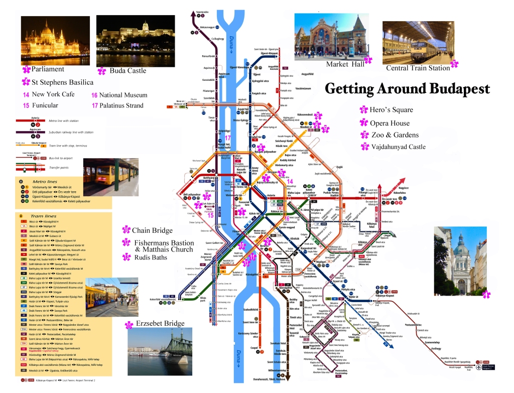
Click the map above to download our pdf Budapest Visitor’s Map re-imagined to get you to the major attractions using public transportation.
The first problem trying to get around in Budapest is the Hungarian language. While many Hungarians speak English you will find few maps, signs or streets in anything but Hungarian. If you follow the tips here you will quickly get the hang of navigating through this city and its public transportation.
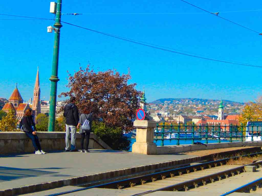
Budapest is a remarkable, beautiful and large city with the Danube River running thru the middle of it. Along the river in the central city are four major bridges. Starting from the north at the southern tip of Margit Island is Margit Bridge.

Margit hid or Margaret Bridge is a bridge carrying trams, cars and pedestrians connecting Buda and Pest along with access to Margaret Island. It was designed by French engineer Ernest Goüin and built by the construction company Maison Ernest Goüin et Cie. between 1872 and 1876. Margaret Bridge was the second permanent bridge in Budapest.
Next is the Széchenyi Chain Bridge. Designed by the English engineer William Tierney Clark and built by the Scottish engineer Adam Clark, it was the first permanent bridge across the Danube in Hungary. It was opened in 1849.
Next is Elisabeth Bridge (Hungarian: Erzsébet híd) is the third newest bridge of Budapest. The bridge is situated at the narrowest part of the Danube in the Budapest area, spanning only 290 m. It is named after Elisabeth of Bavaria, a popular queen and empress but often referred to by locals as the “White Bridge”.

Going south the fourth bridge is Szabadság híd (in English it means Liberty Bridge or Freedom Bridge. It was originally named Ferenc József híd (Franz Joseph Bridge). At its two ends are two public squares, Gellért tér, at the foot of Gellért Hill, next to the Gellért Spa and Fővám tér at the Great Market Hall. Built as part of the Millennium World Exhibition at the end of the 19th century, the bridge features art nouveau design and mythological sculptures.

Navigating the city by surface streets can be confusing with neighborhood streets seeming laid out like a maze. Many areas have very few streets that are laid out in a square grid pattern but rather seem to zig zag back and forth. For this reason even trying to use a street map for navigation can be frustrating if you are walking. If you are walking to destinations we recommend using a cell phone for navigation. Fortunately major tram routes and subways trace prominent paths thru the city and stops are mostly found at major intersections.
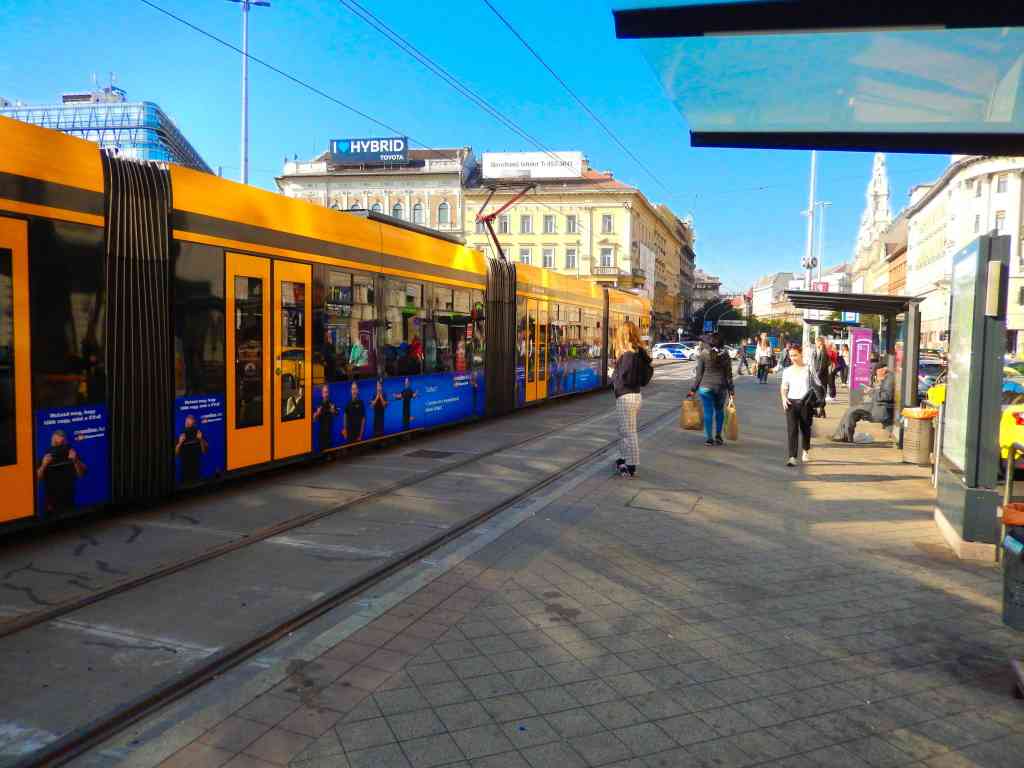
Budapest has a very efficient and inexpensive metropolitan transit system. The best option if you are going to be spending a couple of days in this city, is to get a Metro “day pass” which averages about $6.00 per person per day or less and is available in one, two and three day passes. A day pass operates on a 24-hour cycle so if you buy one at 10:00 am it can be used until 10:00 am the next day. You can purchase them from vending machines but our recommendation is to purchase them from a manned ticket window open during business hours at most major stations. These are usually at major street intersections where you will find there are stairs going underground that are often also the best way to cross large city streets. While an amazing number of Hungarians know a passing amount of English, signage is another story in this city. Finding good signage in English is actually very rare in Budapest. Beside being able to talk to an agent about purchasing the best pass for your needs, they will also give you a complete set of pocket maps with some information brochures in English that are not available at the machines. The metro system is based on individual tickets based on tapping onto trams and busses. If you buy a day pass you do not need to tap on or off the various transports but simply have the passes with you. The truth is that after three or four days of riding rapid transit, nobody ever asked to see our pass.
One exception to that was one day we bought a train ticket for an hour trip out to Slovakia which offered a partial discount off the price if we had an active transit pass. The conductor on the train did want to see our metro pass to confirm that we were entitled to the reduced train fare.
Metropolitan transit in Budapest has three primary systems. They are subways, buses and the street trams. The easiest to navigate are the surface trams which are clearly marked on maps by their routes. They also have the advantage of being operated at street level where you can see where you are.
As a visitor think about Budapest as being divided up into several areas of interest. First the city is divided by the Danube River. The east side of the river is the old city of Buda with most areas of interest located within a mile of the river. Much of this terrain is steeply inclined up to the fortifications, the castle and Matthias Church and the old city. There is also a funicular that goes up to the castle level from near the Fisherman’s Bastion.
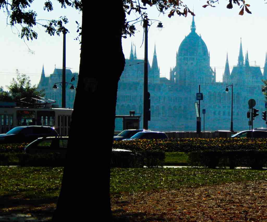
The west side of the river is the old city of Pest and includes most of the large commercial areas and additional major attractions. Some major sights include St. Stephen’s Basilica, The Hungarian Parliament Building, Hero’s Square as well as a number of major museums and galleries.
There are two primary tram lines designated 4 and 6 inside the central city that cross the river at the Margit bridge and the Erzebet Bridge. These two lines are major routes for people to use going to work and shopping and can get busy at times. Along these routes are the Central Train Station, the Market Hall, the New York Cafe and the Octagon intersection. From Octagon you can switch to the #1 subway line to get to Hero’s Square, the National Museum and or toward the river to the Opera House and a popular restaurant neighborhood.
There is an intersection of tram routes 4 and 6 with the #4 subway line at Jozsef Krt and Rakoczi Ut where you can switch routes and take the subway toward the Danube..
The easiest way we found to use the trams and subways is to know the map location where you get on and count the number of stops to where you are going, Understanding the Hungarian tram and subway announcements is often difficult and reading stop locations can be a challenge. Also station names at the various stations in the subway are poorly marked. For example boarding a west bound subway at the Octagon station and wanting to get off at Heroes Square to visit the gardens simply count five station stops.

After just a couple of trips you will easily get the hang of the system. Rush hour is also an interesting time on the trams. When the doors open on a packed full tram you will quickly realize that the crowd behind you believes there is plenty of room for a number of additional riders inside. You may be reluctant to push in but the next thing you know you are right there, packed into the car that you thought you wouldn’t fit into. Don’t worry most everyone is friendly and accommodating. Also if you aren’t sure where you are ask for help. We rarely found anyone that couldn’t understand some English and were happy to help.
