

Working our way up the Blue Ridge Parkway starting at the southern entrance in Cherokee, North Carolina.
October 5th – Cherokee, North Carolina. Today the plan was to start out with a hike on the Conaluftee River Trail from the Conaluftee Visitors Center. That would be followed by a short hike to Mingo Falls and ending with a longer hike on the Smokemont Loop Trail and up a spur trail to the Chasteen Creek Cascade.


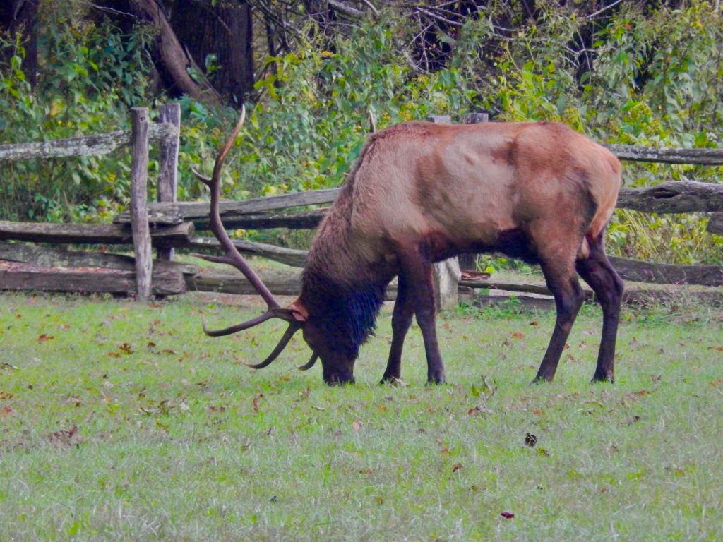
Conaluftee River Trail – Shortly after heading out along the river trail we came across a number of photographers in waders in the river with some really long camera lenses. They were staked out waiting for herds of elk to wade across the river. Around that time we heard bull elk calling from both sides of the river and within a couple of minutes a cow elk with three young calves crossd the river right next to us. Out of the woods on the other side came a large bull elk calling and all four of them disappeared into the forest. A while later another bull and several cows came up river started grazing next to the farm museum site. A great start of the day.

Morning Mist 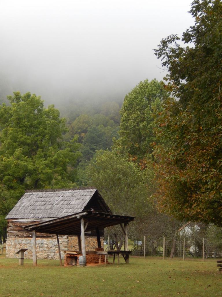
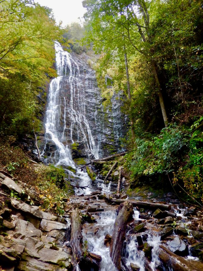
Mingo Falls – To get to the parking lot for Mingo Falls from the National Park drive towards Cherokee and take the first left after the entrance to the Blue Ridge Parkway. Over the river turn left and follow the road. There is a sign pointing to the parking lot for the falls. At the back of the parking lot is a set of stairs with 218, uneven steps going up toward the falls. While only about a quarter mile to the falls it is a good climb but worth the effort. At 120 feet tall, the Mingo waterfall is one of the tallest and most spectacular in the southern Appalachians.
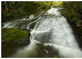
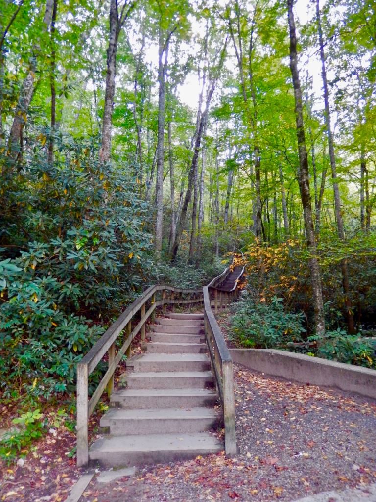
Smokemont Loop Trail and the Chasteen Creek Cascade trail can be tricky to find and easily misunderstood. The entry point is less than 3 miles west of Smoky Mountains National Park’s Conaluftee Visitors Center. It’s on the right past the Mingus Mill*. Signs indicate the Smokemont camp area but once your make the turn you come to a T without directions. Turn left toward the Smokemont Campground. At the entry to the campground is a booth and a sign that says “Campers Only”. If anyone is there simply tell them you looking for the Chasteen Creek Cascade trail. Drive to the back of the campground and there’s a small parking lot next to a sign that says “Road Closed”.
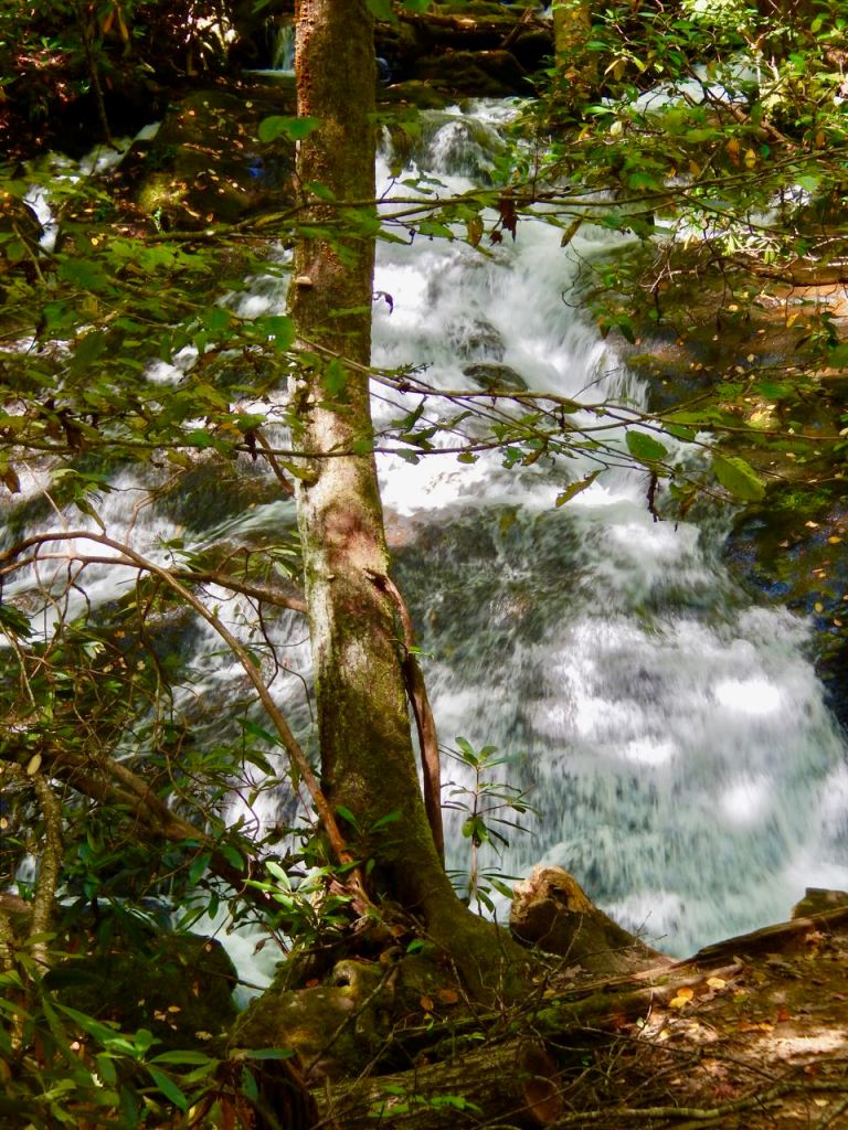
As you walk up the trail you are on a upside down J shaped access trail that will take you to the Smokemont Loop Trail in about 2.25 miles. The Smokemont Loop starts there and is about 6.5 miles long. In less than 2 miles you’ll come to a fork with Chasteen Creek to the right and Smokemont Loop to the left. The cascade is about a mile up to the right and at any additional fork go left. These two trails are actually hiking – horse riding trails and there is often a fair amount of riders out on the trail.
Going farther up the Smokemont Loop Trail is also a highly recommended hike with a moderate incline with beautiful views of the Oconaluftee River Valley.

*Mingus Mill – A half-mile north of the Oconaluftee Visitor Center is Mingus Mill. Built in 1886, this historic grist mill uses a water-powered turbine instead of a water wheel to power all of the machinery in the building. Located at its original site, Mingus Mill stands as a tribute to the test of time.

