Rhodes (Greek: Ρόδος, romanized: Ródos [ˈroðos]) is the largest of the Dodecanese islands of Greece and is also the island group’s capital.


The island was the site of the legendary Colossus of Rhodes, a statue of the Greek sun-god Helios, erected by Chares of Lindos in 280 BC. It was one of the Seven Wonders of the Ancient World, constructed to celebrate Rhodes’ victory over the ruler of Cyprus, Antigonus I Monophthalmus. According to most descriptions, the Colossus stood approximately 108 feet high, about the height of the modern Statue of Liberty. It collapsed during the earthquake of 226 BC.

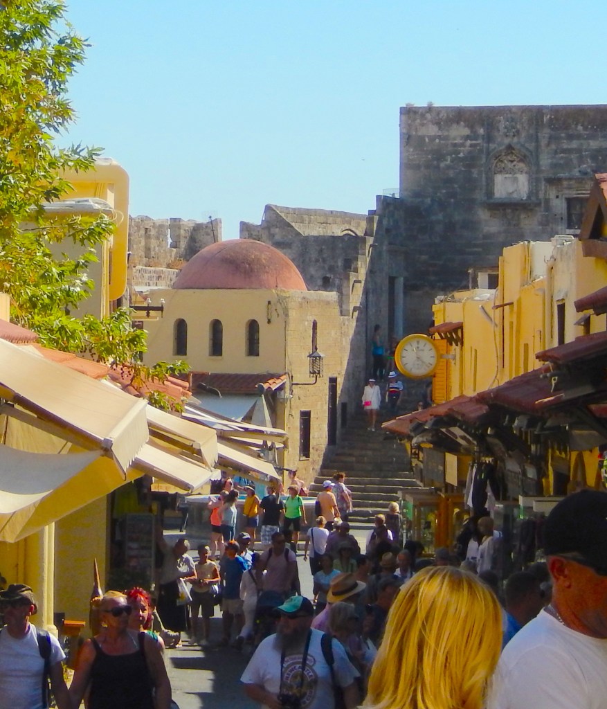
When the knights of Saint-John arrived on the island in 1309, they built this impressive citadel city. The two and a half mile long fortified walls, with a number of strongholds and towers remain extremely well-preserved.
There are only walking streets inside the walls with an occasional motor bike and scooter. Wander through paved medieval streets and alleys while visiting historical monuments. The winding streets are lined with many taverns, restaurants, galleries and shops.
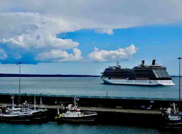
Where Your Ship Docks
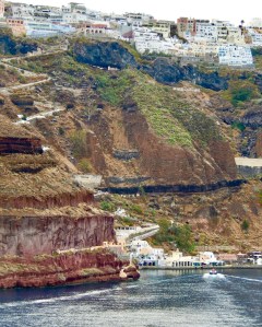
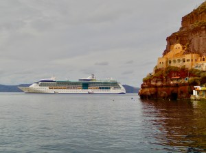
The island of Rhodes is about forty miles in length and cruise ships dock at the far north end only a short walk from the Medieval City of Rhodes. The medieval city is far and away the island’s major attraction and became a UNESCO World Heritage site as the largest and best preserved medieval fortified city in Europe! The pier is situated to be convenient to the medieval city with a nice seaside walkway public facilities just inside.

Transportation

For a day visit to the Medieval City of Rhodes a leisurely walk is all that’s needed. If you would like to get out and see the island there are a number of rental car agencies right at the pier and there are taxis available also.
Currency
Rhodes is part of Greece and the local currency is the Euro. Generally US and Canadian Dollars are not taken but credit cards are widely used and there are numerous ATM’s available.
Attractions
The Palace of the Grand Master of the Knights of Rhodes: one of the first castles built by the knights. Inside, you will discover a museum dedicated to Rhodes’ History and the Grand Master’s apartment, with its magnificent mosaic floors.
The Street of the Knights: there, each of the languages had its own inn (also called “auberge” or “palatial residence”). You will discover the Inn of the Tongue of France, or the Inn of the Tongue of England for example.
The Archaeological Museum of Rhodes is located in the medieval Hospital of the Knights. There, you will find many ancient objects found in Rhodes and the other Dodecanese Islands.

The Roloi Clock Tower, features beautiful views of the Old City from the top.
The Byzantine Art Museum displays many frescoes and icons from the Byzantine period.
Church of Agia Triada (Holy Trinity) Erected sometime between the late 15th and early 16th century this church is situated on Leonidou Rodiou square. Some of the original frescoes that once decorated its interior have been preserved
Agia Aikaterini. St. Catherine – built in the 14th century, was converted to a Moslem mosque when the Ottomans captured Rhodes in1522. It’s said to be the first Christian church to be converted to a mosque. Süleyman the Magnificent prayed at this mosque after he conquered Rhodes.

The Suleyman Mosque, built during the Turkish occupation of Rhodes.
In the modern city of Rhodes, you will find vestiges of Rhodes’ Acropolis, located about a mile from the medieval city, on Monte Smith. There, you can see the remains of the Stadium, the Theatre and the Pythian Temple of Apollo. This archaeological site is small, but free.