The Dover Museum in Dover, England is one of the oldest museums in Kent England. It was originally founded in 1836 and is now one of the county’s premier tourist attractions. Even better the admission is free.
Much of its new popularity has come from the addition of the Dover Bronze Age Boat. In 1991 the museum was expanded in a brand new three-story building and has dedicated a gallery to the boat. The museum’salso galleries tell the story of the development of the town and its famous port, displaying archeological objects, graphics and model displays.
Dover Bronze Age Boat Gallery
This major archaeology gallery tells the story of the excavation and preservation of the Dover Boat. The gallery also explores major themes of the Bronze Age, using artifacts, replicas, models, video, computer interactives, hands-on exhibits and illustrated panels.
This prehistoric wooden boat, discovered in September 1992, is thought to be some 3,500 years old. The boat’s excavation was an internationally important archaeological discovery. After seven years of research and conservation by experts from all over England, the Dover Boat is back in Dover and is now proudly on display at the Dover Museum in the Bronze Age Boat Gallery.
Discovery and Excavation
On 28 September 1992, Kent construction workers in the midst of building the A20 road link between Folkestone and Dover made an intriguing discovery. The workers called in archaeologists from the Canterbury Archaeological Trust, and together uncovered the remains of a large and well-preserved prehistoric boat. This was an internationally important discovery as the boat is roughly 3,500 years old and archaeologists estimate it would have been in use during the Bronze Age.
The archaeologists were aware that past attempts at excavating similar boats in one piece had been unsuccessful. Consequently, a decision was taken to cut the boat into sections and reassemble it afterwards. It was also necessary to leave an unknown part of the boat underground as its burial site stretched out towards buildings and excavating close to these buildings would have been too dangerous. After a month of excavation 28 feet of the boat was successfully recovered and has since been preserved.
Archaeologists remain unsure of how large the boat originally was. It is possible the boat was originally many feet longer than what is displayed in the Gallery, or it could be almost complete. Either way, the boat holds a remarkable position of being theworld’s oldest known sea-faring boat.
The discovery, excavation and preservation of the Dover Bronze Age Boat has been internationally praised. In December 2000, the Bronze Age Boat was awarded the British Archaeological Awards ICI Award 2000 in recognition of its contribution to archaeological knowledge.
Visiting Serbia And Croatia And Finding Some Unexpected History
We left Croatia recently after five days of traveling across Serbia and Croatia. People were often eager to talk history but that usually meant railing against the Ottoman-Turks or the Communists. The recent Balkan conflict was rarely mentioned. In Belgrade, Serbia we met one woman who recounted remembering the sound of the incoming American Tomahawk missiles and how Serbia was treated unfairly by America and Western Europe.
On our last evening in Serbia we attended a lecture by a professor who went into great detail about the old rival factions in the Balkans. All about the Romans settling the region, conflicts between Catholicism, the Orthodox church, and the six major Slavic groups that call the region home. Throw in the Ottoman-Turkish invasion with a few hundred years of occupation and war, followed by World War II and Communism and you end up with a boiling piece of geography. Under Communism, Yugoslavia was created with a strong arm dictator named Tito and subdivided along ethnic lines into six republics under one government.
After Tito’s death Yugoslavia quickly dissolved and even though they spoke a common language, Servo-Croatian, they had different histories, wildly different religious beliefs, and very distinct identities. By 1991, Slovenia and Croatia each declared independence from Yugoslavia. Soon a bloody war broke out in Croatia where Serbs tried to create their own new state. A year later, Macedonia formed its own state with little conflict. Next to go was the republic of Bosnia and Herzegovina. But Bosnian Serbs wanted to stay with what was left of the Yugoslav Federation and that led to three years of more war.
Oddly, nobody we talked to seemed to have anything to say about the Muslim populations that remained behind after the Ottomans pulled out or a number of campaigns that devolved into ethnic cleansing.
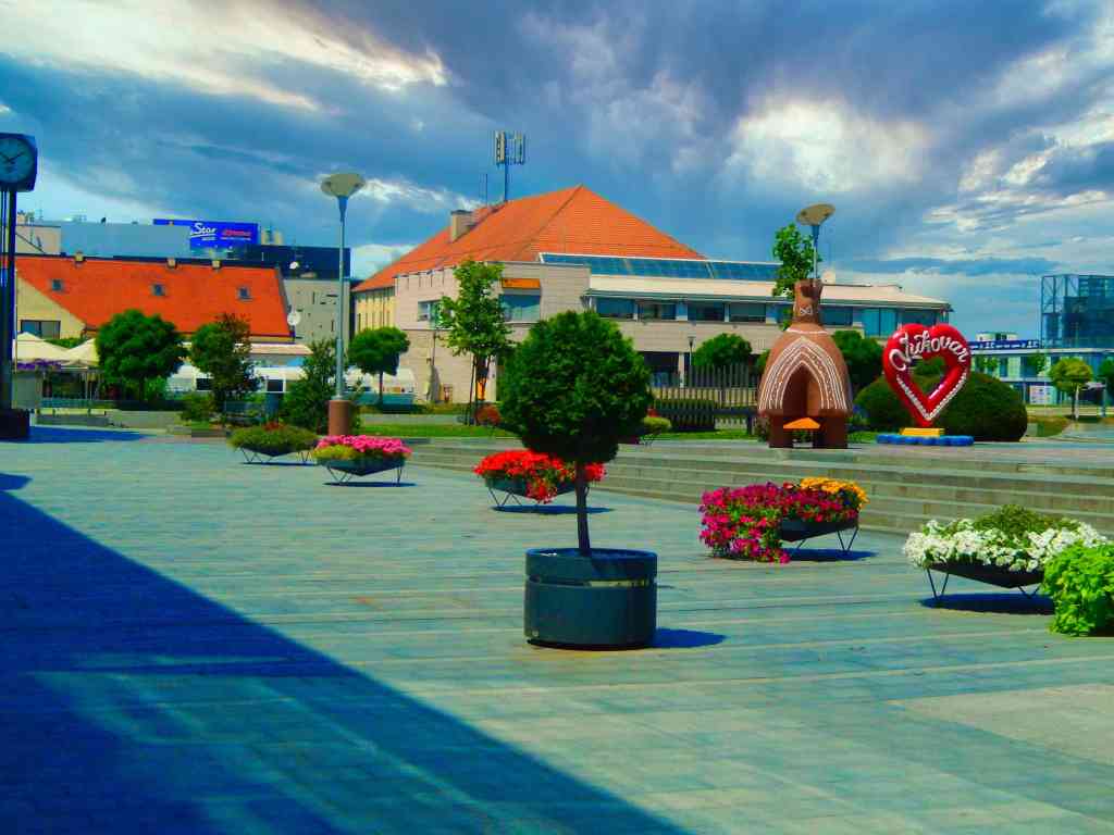
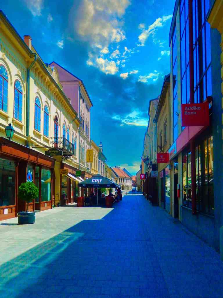
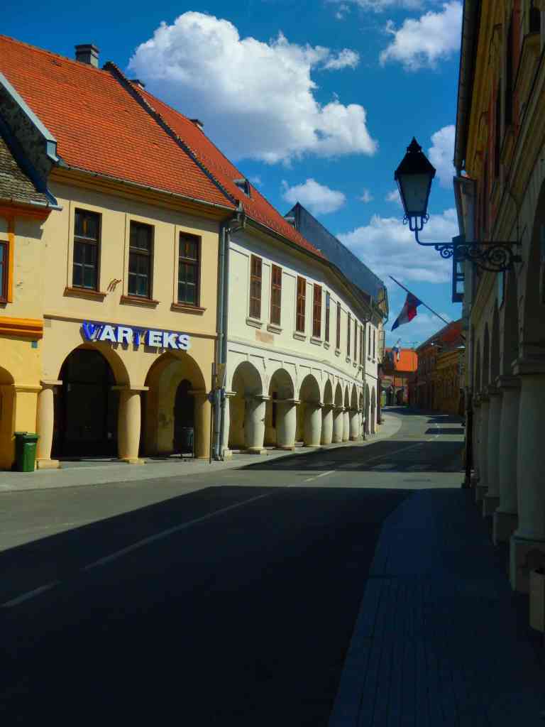
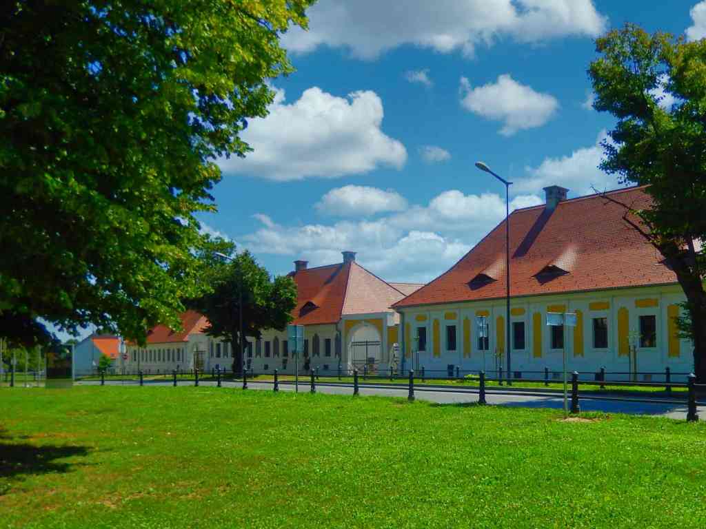
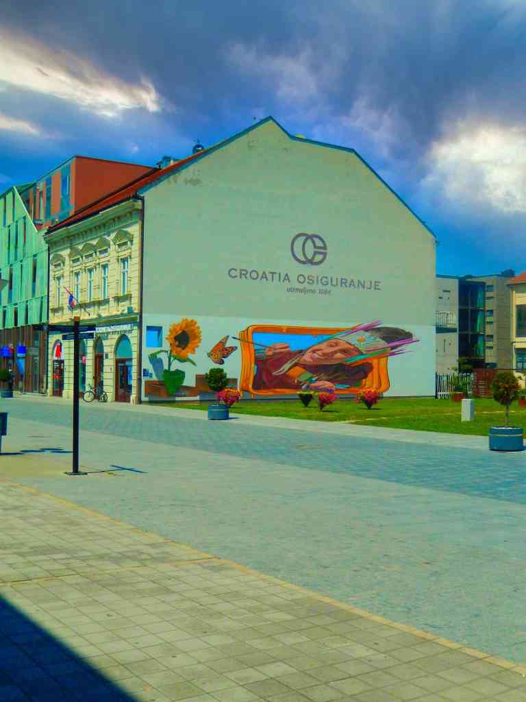
Shortly before leaving Croatia we found ourselves in the town of Vukovar on the Danube at the Serbian-Croatian border. A cute place with outdoor cafes, parks, several historic churches and a museum and it was getting ready for an annual film festival. We spent a few hours taking pictures, discussing points of interest with some locals and noted a number of odd, half destroyed buildings around town. It was only on the next day when I was researching local geography and searching about this town that I discovered we had missed something really important.
A number of buildings have been left as memorials from the siege
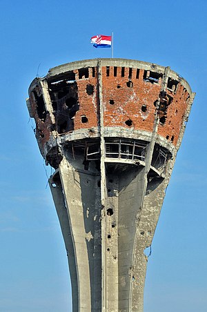
The remains of Vukovar’s famous water tower
In 1991 between August and November the Battle of Vukovar was an 87-day siege of the town in Croatia by the Yugoslav People’s Army, and by various paramilitary forces from Serbia. Before the Croatian War of Independence this town was one of the most ethnically mixed communities in the Balkans with Croats, Serbs, other ethnic groups and a sizable Muslim population. Serbia’s President Slobodan Milošević along with Croatia’s President Franjo Tuđman began fostering separatist nationalist politics. In 1990, an armed insurrection was started by Serb militias in Croatia, supported by the Serbian government and paramilitary groups, who took control of a Serb-populated areas of Croatia. The Yugoslav People’s Army got involved with the Serbs in Croatia and in May 1991 they launched a full-scale attack against Croatian-held territory in eastern Slavonia, and focused on Vukovar.
Vukovar was defended by around 1,800 lightly armed soldiers of the Croatian National Guard and a couple of hundred civilian volunteers, against a force of 36,000 soldiers and Serbian paramilitaries equipped with heavy armor and artillery. During the battle, shells and rockets were fired into the town at a rate of up to 12,000 a day. At the time, it was the fiercest and most protracted battle in Europe since 1945, and Vukovar was entirely destroyed. When Vukovar fell on 18 November 1991, several hundred soldiers and civilians surrendered and were massacred by Serb forces and at least 20,000 inhabitants were driven out of the area. Overall, around 3,000 people died during the battle. Most of Vukovar was ethnically cleansed of its non-Serb population and it became part of a self-declared proto-state Republic of Serbian Krajina. Several Serb military and political officials, including Milošević, were later indicted and in some cases jailed for war crimes committed during and after the battle of Vukovar including making the Muslim population disappear.
Throughout history most empires have been founded using the power of swords, cavalry and war ships but there are a few whose tools were trading, manufacturing and exploration. Four hundred years ago there was an emerging world power based on just that formula. This nation was known by a number of names – Holland or the Netherlands and the people were called the Dutch. Most interesting of all is this nations real advantage was founded on the power of wind.
Holland was as much a business empire as a political one. Dutch merchants and traders sent ships out around the world looking for trade routes, raw materials and unique commercial goods to bring home. Back in Holland the raw materials were used by manufacturers using the prevailing winds as a source of manufacturing power.
The Netherlands was already a country being salvaged from the sea. Between four and six hundred years ago the Dutch were building dykes to ring itself off from the sea, fill in land and had created windmills to pump water out of these newly recovered lowlands. Over a couple of hundred years the largest portion of land in The Netherlands was actually that reclaimed land with the average height of this country being eighteen feet below sea level.
The windmills were so successful as an energy source employed to operate those pumps that the windmills were soon turned to provide manufacturing power. This low cost energy harvested from those strong prevailing winds now gave Holland a huge advantage over other countries who were mostly digging and burning coal. In the seventeenth century this made The Netherlands one of the worlds richest nations from exporting milled grain like flour, woven fabrics, pigments for pastel colors, wood, chocolate, and yarns.
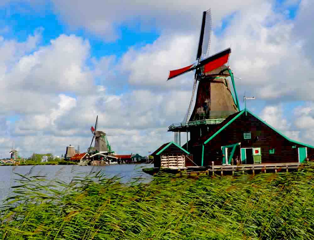
Today many of these remarkable 400 year old windmills are still functioning in a number of areas in Holland and are open to visit.
The Kinderdijk windmills – The Kinderdijk windmills are a group of 19 monumental windmills in the Alblasserwaard polder, province of South Holland, Netherlands.
Zaanse Schans windmill village – Featuring windmills and houses from the 18th and 19th centuries and located only 15 minutes from Amsterdam.
De Schermer windmills – Offers the Museum and story of the Schermer. How they made land out of water in 1633. From 1633 to 1635, the lake Schermeer was drained using 52 mills
De Adriaan in Haarlem – A windmill in the Netherlands that burnt down in 1932 and was rebuilt in 2002. The original windmill dates from 1779 and the mill has been a distinctive part of the skyline of Haarlem for centuries.
The Keukenhof windmill – Outside Amsterdam it’s a so-called tower mill and was built in Scharmer in 1892. The windmill was originally a ground-sailer and functioned as a polder windmill. In 1975, the windmill was moved to the grounds of the famous Keukenhof. The flower park received the windmill as a gift from the Holland-America Line.
The windmills in Heusden – Part of the famous city walk fortress and windmills of Heusden, North Brabant on the Netherlands Hiking route.
The windmills in Wemeldinge – There are two grain mills in Wemeldinge: De Hoop (1866) and de Aeolus (1869). De Hoop is open every Saturday afternoon, and de Aeolus can be visited by appointment only.
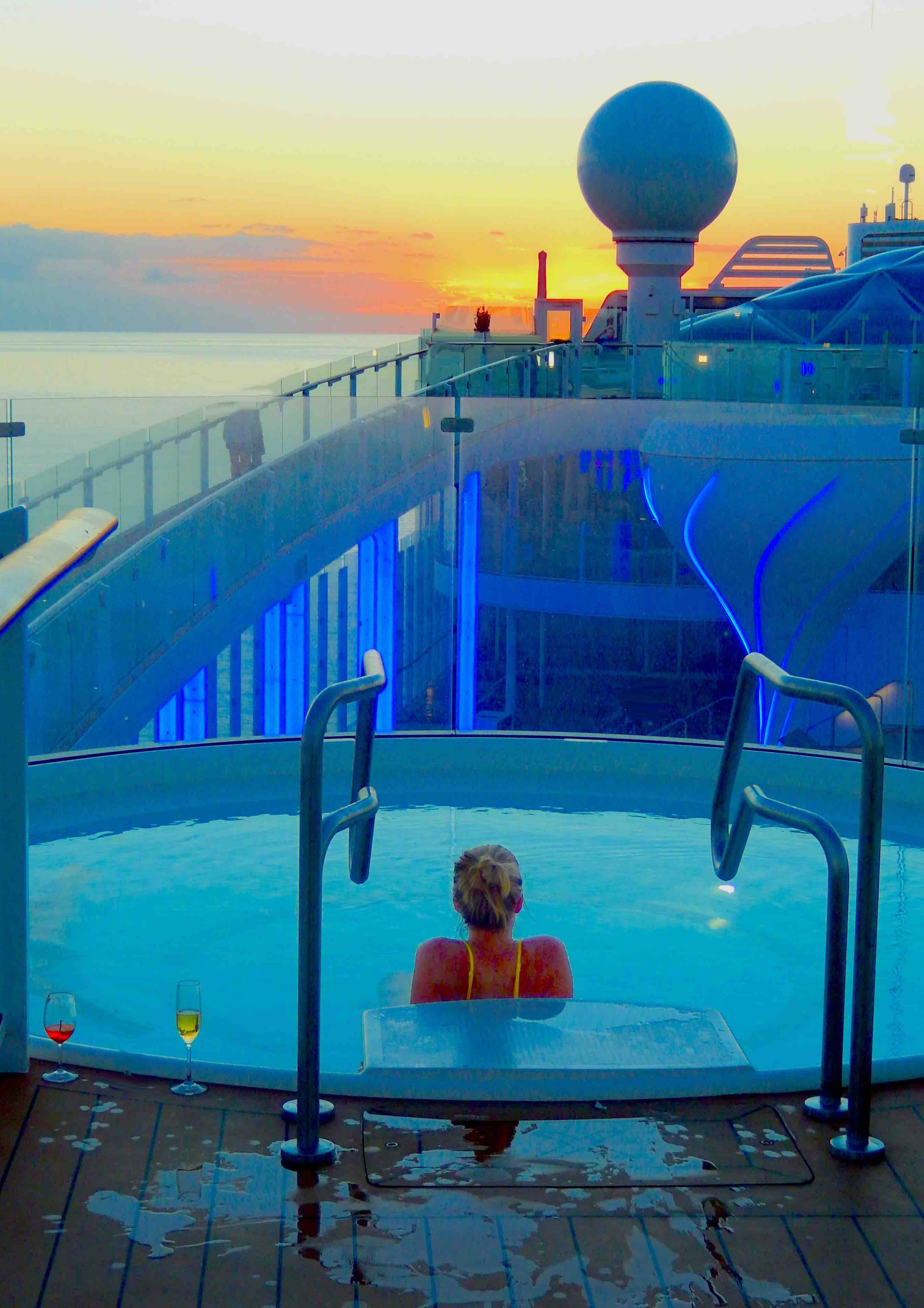
Go casual, dress it up, just have fun – It’s the cruise lifestyle!
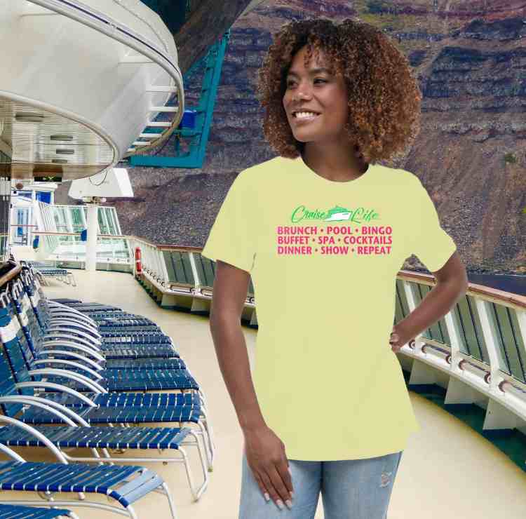
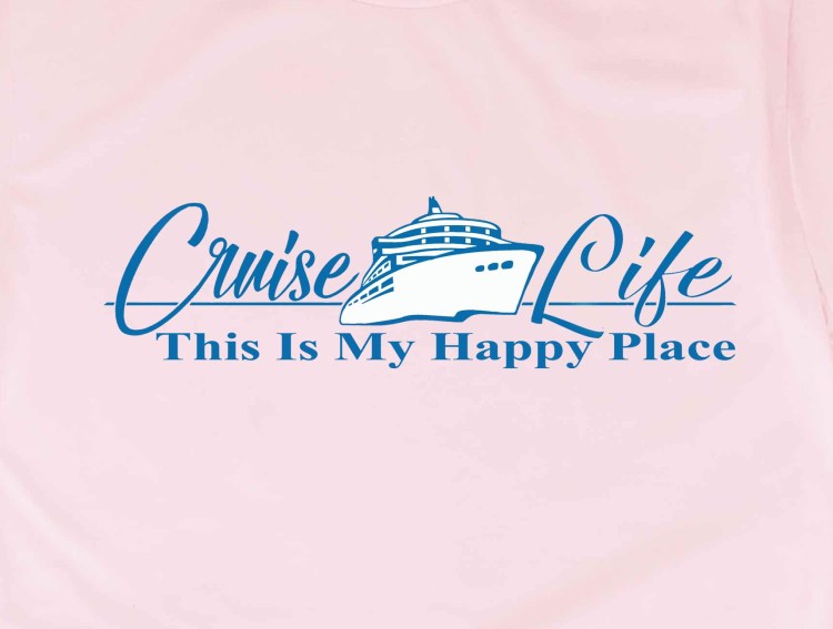
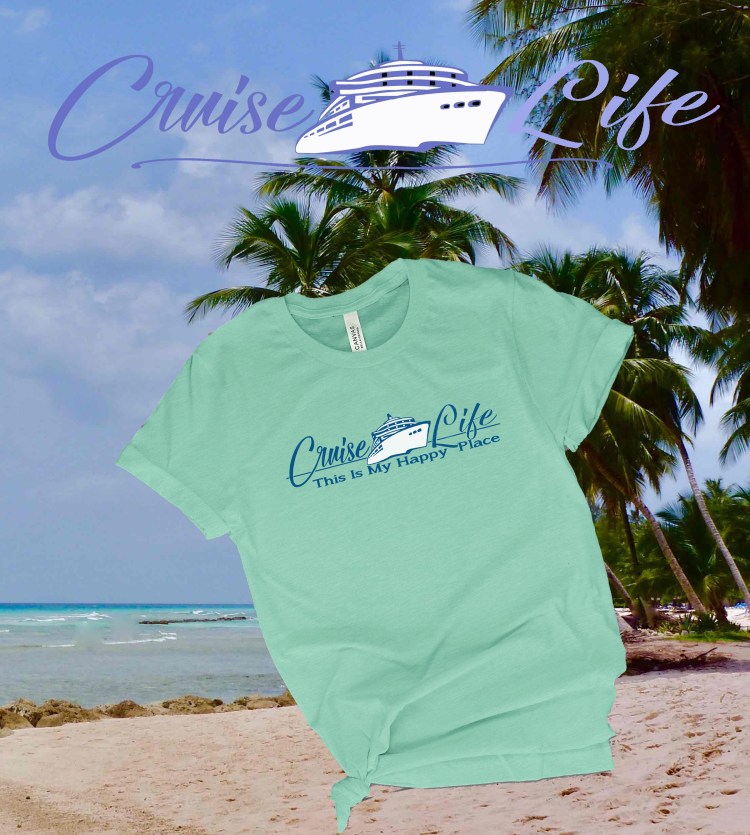
Quality T-shirts and creative designs available in a wide range of colors and sizes.
We’re Judi and Dennis and we are The Intentional Travelers. In addition to traveling the world we also sell our designs in The Crafts Mart, an online market with a connection to Etsy. Drop in any time and browse.
Photo below by Patrick T. Fallon / AFP via Getty Images
Over the past several days major fires spread by 60 mph winds have devastated the islands major towns. Most of the city of Lahaina’s waterfront, including the art galleries. historic buildings and major residential neighborhoods have been completely destroyed.
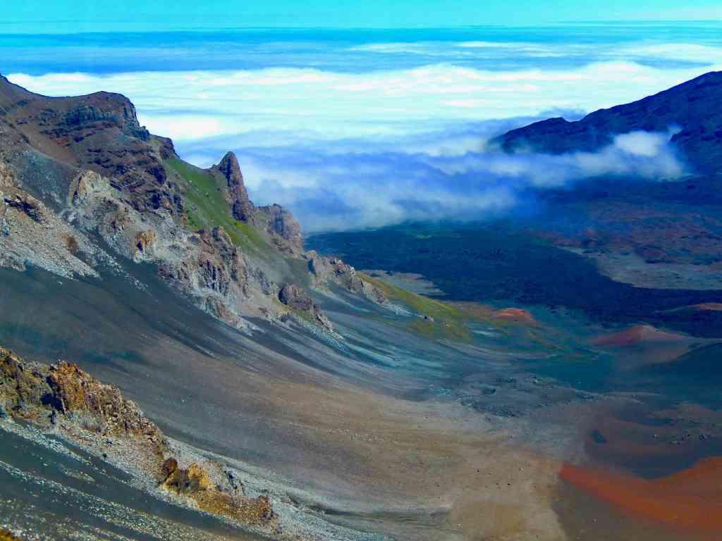
The island of Maui is actually two volcanic cones with a flat plain connecting them. The larger volcano is Haleakala rising 10,023 feet out of the Pacific and boasting the largest crater in the world measuring some 20 miles across. It is still considered active with eruptions spaced many years apart. The scenic Haleakala National Park is known as the “house of the Sun” setting the stage for a breathtaking range of landscapes—and skyscapes. The other volcano is Puʻu Kukui rising above the town of Lahaina.
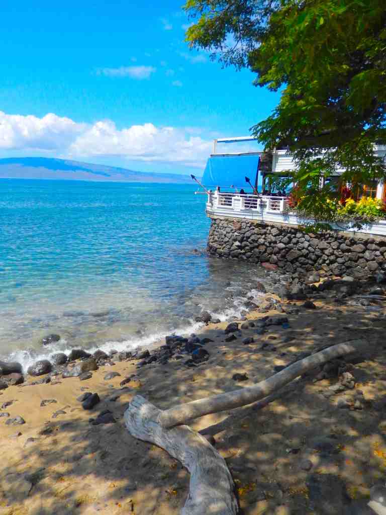
Lahaina is very walkable with the major parts of the town being four or five blocks back from the waterfront and extending up and down the waterfront for three-quarters of a mile.
There are a number of public beaches only a short distance from the Lahaina marina area as well.
Transportation
Click this map to download our pdf copy
For getting around the island Maui has a great bus network and a train. They run between resort areas and are great for shopping and getting to major beaches.
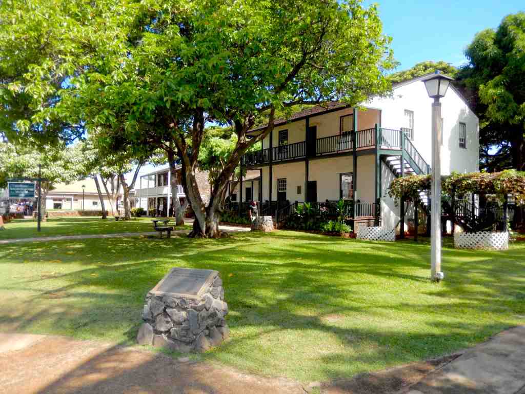
The Baldwin Home Museum
The Maui Bus service consists of thirteen bus routes and provides service in and between various Central, South, West, Haiku, Kula and Upcountry Maui communities. All of the routes are operated seven days a week, including all holidays. No transfers are given on any of the routes. All routes cost $2 per trip ($1 for those over 55) and there is a day pass for $4. From the Lahaina marina it is a short walk to the Wharf Cinema Center where four bus routes connect.
The island of Maui is shaped like a figure eight 45 miles long and 25 miles wide, with the well known Hana Highway being the main scenic route along the north shore and east around Haleakala to the eastern tip.
Island Attractions
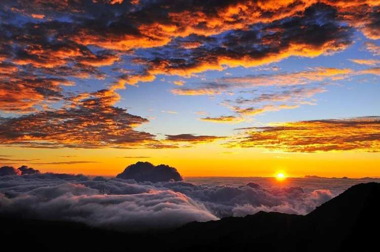
Haleakala National Park, where you can hike to the summit of a dormant volcano and watch the sunrise
Road to Hana, a scenic drive with waterfalls, beaches, and lush rainforests
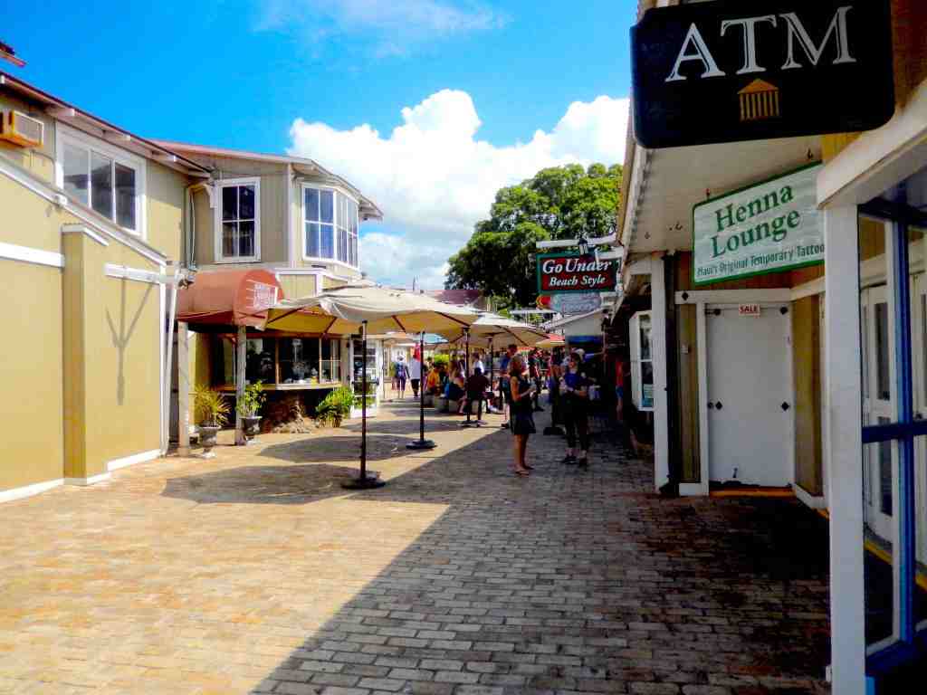
Lahaina, a historic whaling town with shops, restaurants, and art galleries
Kaanapali Beach, a beautiful stretch of sand with clear water and great snorkeling
Iao Valley State Park, a lush valley with a famous needle-shaped rock formation
Sunrise from Haleakala
Up on Haleakala
Haleakala National Park – In addition to the appeal of a tropical paradise, beautiful waters and great beaches the real center of attention is Haleakala. There a few places on Earth where you can go from sea level to over ten thousand feet in only a dozen miles, as the crow flies. The road climbs at a gentle rate and the view from the top is breathtaking. It is recommended that visits should be scheduled early in the day as it is common for the peak to become wrapped in clouds later in the day because of its height and the trade winds,.
There will be a lot of work going forward to help Maui recover from this catastrophe and they will need many prayers and a lot more…
The Town of Lahaina has a long and varied history. The earliest settlers of Maui date back to around 450 A.D or earlier. In 1802, King Kamehameha declared the Maui town of Lahaina the capital of his Hawaiian island kingdom. He built a brick palace on the shores of Lahaina and you can see the ruins in the middle of town along with other royal buildings and residences on a site called Moku`ula. Lahaina served as the seat of government for over 50 years, until the capital moved to Honolulu.
In the 1800s, Lahaina was also a major whaling port and fishing town, thanks to its harbor and a location on the major whale migration routes. You can learn more about this historic town by visiting exhibits at the Baldwin Home Museum and the Lahaina Restoration Foundation. Baldwin and other missionaries taught the Hawaiians to read and write in both English and Hawaiian. They established the high school above Lahaina while descendants of the Baldwins went on to develop the irrigation system and sugar cane industry on Maui.
The center of town is Lāhainā Banyan Court (a Park) near the waterfront with the oldest tree on Maui at its centerpiece.
The Road to Hana is a scenic drive along the northeastern coast of Maui, famous for its stunning views of waterfalls, beaches, and lush rainforests. The road stretches for about 64 miles and has over 600 curves and 50 bridges. Some of the popular stops along the way include:
Paia Town, a charming surf town with unique shops and restaurants
Twin Falls, a beautiful waterfall with a swimming hole
Waianapanapa State Park, a black sand beach with sea caves and hiking trails
Seven Sacred Pools, a series of waterfalls and swimming holes in Oheo Gulch
The Road to Hana is a full-day trip, so plan accordingly.
Kaanapali Beach is a beautiful stretch of sand on the west coast of Maui. It’s known for its clear water, great snorkeling, and beautiful sunsets. The beach is lined with resorts, restaurants, and shops, making it a popular destination for tourists. Some of the popular activities at Kaanapali Beach include:
Snorkeling and scuba diving to see the colorful marine life and coral reefs
Parasailing and jet ski rentals for a fun day on the water
Sunset catamaran cruises to enjoy the beautiful views of the ocean and coastline
Beachfront dining and shopping at the Whalers Village shopping center
The island is famous for whale watching and depending on the season there are a number of whale watching tours available in Lahaina.
Shopping Opportunities
Hilo Hattie – most popular store for the largest selection of Hawaiian clothes and souvenirs.
Wharf Cinema Center – 3-level building with stores and restaurants across from the Banyan Tree in Lahaina.
Hot Island Glass – watch glassblowing of decorative glass sculptures.
Moana Glass – learn glassblowing and make your own glass art.
Makai Glass – large viewing gallery to watch glass art production.
Lahaina is the cruise port of call for the gorgeous island of Maui, a port famous for its miles of beautiful white sand beaches. Lahaina has excellent shopping in a central area famous for its galleries. The tender landing is near to a beach with plenty of beach shops and great restaurants serving up Hawaiian cuisine. Be sure and stop for a shave ice.
My wife and I are well into our seventies so we’re sort of in a race to get more of our bucket list checked off. As you get older the urgency seems to grow and delays seem devastating. We’re back to major trips after covid and so far this year we’ve been catching up with going into the Caribbean twice, back to Alaska, visiting the Galapagos and Machu Picchu. Coming up is the British Isles and a cruise to Greenland, Iceland, Newfoundland and Nova Scotia and a November trip to Egypt.
I just recently was threatened with another setback. A month ago I had another eye surgery to slow the serious effects of glaucoma and things didn’t go as well as hoped. After three weeks the doctor suggested I no go traveling out of the country and it looked like the next trip to England and the cruise would get scrubbed. Yesterday my exam showed great improvement so we’re back to packing for that trip.
We’ve been planning and working for some time on a February 2024 trip and it just occurred to me that this itinerary will completely circle the globe in around 30 days. Accurately it is around the world in 34 days…
This itinerary is a replacement for several trips lost because of covid. Actually covid cost cancelation of 13 trips with a few being replacement trips that were also canceled.
We leave in mid February from Orlando flying to Zurich, Switzerland. We then fly to Mumbai, India and after several days we board the Celebrity Millennium. The cruise will make port visits to Goa, two stops in Sri Lanka, ports of call in Phuket, Thailand, Penang and Port Klang, Malaysia and finishes in Singapore.
From Singapore we remain on board for a back-to-back and sail for Saigon (Ho Chi Minh City), and Na Trang, Vietnam, on to Hong Kong and Taiwan. That cruise ends in Yokohama, Japan after a port call in Kagoshima.
That round the world trip ends with us flying home to Orlando after spending some time in Tokyo.