History In The Appalachian Mountains

Johnson farm at Peaks of Otter

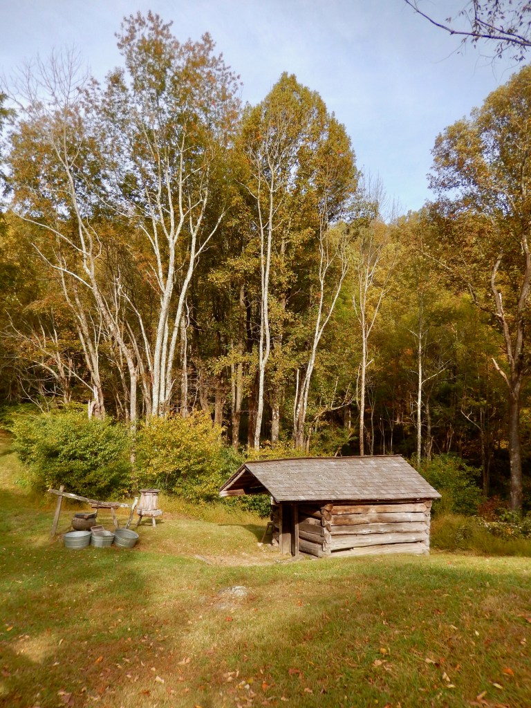
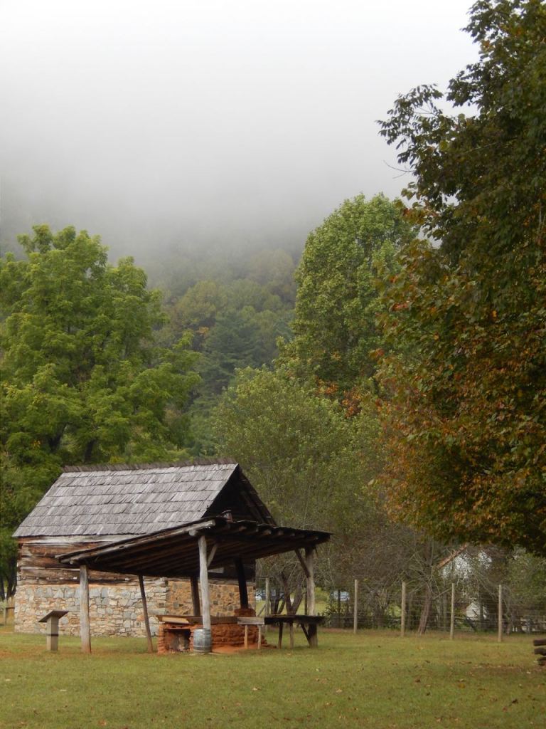
Traveling on this trip up the Blue Ridge Parkway is actually a return to my childhood. I have a connection to those mountain farms of North Carolina as my Father was born and raised on one and I remember spending time there off and on in the late 1950’s. At that time the farm had electricity but still no indoor plumbing. You hand pumped water and it was boiled on a wood-burning stove to fill a copper bathtub. I remember mornings splitting wood for the stove and walking across the yard at night to the privy. On the farm they raised crops (stringing green beans and shucking corn), kept hogs and chickens and had a couple of cows. While they had a radio for entertainment it only picked up one station but there was always guitars, fiddles and autoharps and on weekends there was a dance somewhere nearby. I still find it hard to believe how far we’ve come in the past number of decades.

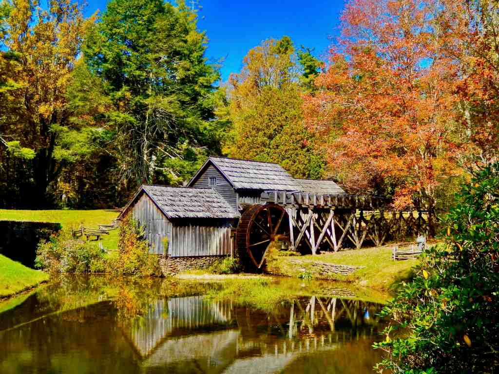
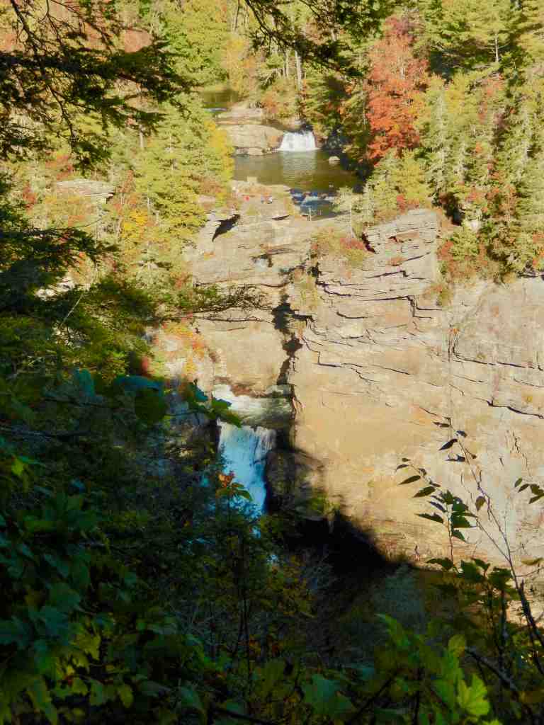
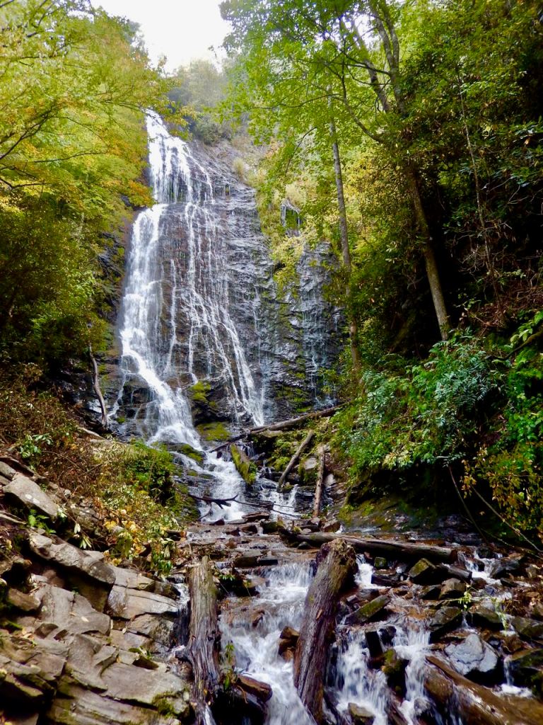
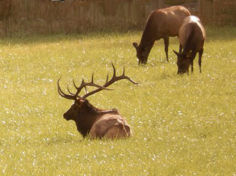
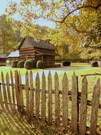
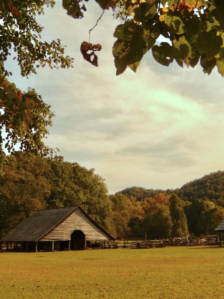
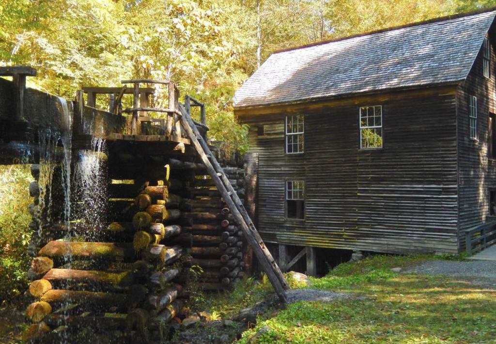
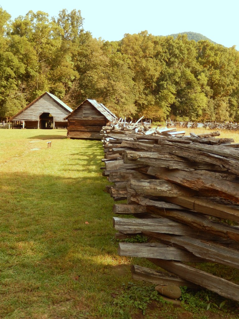
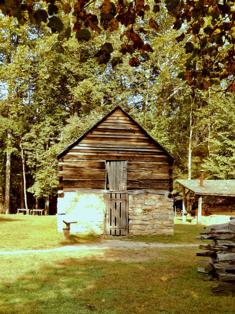
Today sitting on the mountainsides of the Smokey and Blue Ridge Mountains of Virginia and North Carolina are living history lessons covering the early years of America. Restored and preserved farms, mountain homesteads, water powered mills, apple orchards and historic names tell a uniquely American story.

Johnson farm at Peaks of Otter

The people who pushed west from the Atlantic coast and settled these mountains, beginning in the late seventeenth century were generally Scots, Irish and English. Those farmers and craftsmen were used to hard work and were not threatened by the harsh environment of these rugged Southern mountains.

Many Scots left the British Isles and came to America in the early 18th century moving into the mountains of Virginia, North Carolina, and Tennessee. They were descendants of Scots who had survived decades of fighting against English invaders who had pushed them back into the hill country of Scotland and they held a strong belief in independence and a love of liberty. These harsh mountains reminded them of the mountainous lands of their Scotland.

Early English immigrants also migrated from the Tidewater regions of Virginia and North Carolina and were the descendents of original settlers in the colonies or were recent immigrants who found most of the best land taken and prices for existing homesteads beyond their means. There were also people of faith, such as Baptists, Presbyterians, and Quakers, and were leaving Tidewater in order to escape discrimination, persecution, and taxes levied by the English to support the Anglican Church in the colonies.

Mingus Mill at the Smoky Mountains National Park

Like the Scots-Irish, the English settlers brought with them an intense devotion to the principles of liberty, law, and justice. In their heritage was the story of a long struggle for individual rights against centuries of oppression in England.

Not only do historic sites survive in these mountains but the very culture today is still a reflection of those early settlers heritage. Bluegrass music is a form of unique American music with roots in these mountains and is a sub-genre of country music. It is an American variation of Irish, Scottish and English traditional music. Bluegrass evolved from the music of those immigrants from England and Ireland, particularly the Scots-Irish. Irish ballads, jigs and reals are still common music forms found here and bagpipes, autoharps, fiddles, the tin whistle, flute and pipes are still popular in mountain music.

Clogging festival

Irish step dancing is still a popular dance form in the mountains but is often expressed as clogging in the mountains today.

Scottish Tartans are still recognized in the Blue Ridge Mountains and the clans still gather each year at the MacRae Meadows on Grandfather Mountain for their Highland Games.

Mabry Mill on The Blue Ridge Parkway in Virginia

The strong beliefs in independence, democracy and religious liberty that permeated the mountain culture made these people dedicated supporters of the American Revolution. They were strong believers in the cause and provided many men to the Continental Army. The most notorious group from the western slopes of the mountains in Virginia, North Carolina, and what is now Tennessee and Kentucky were the Overmountain Men. The name came from the belief that they were outside the original thirteen colonies on the other side of the mountain.

They were American frontiersmen from western ranges of the Appalachian Mountains who took part in the Revolutionary War. While they were present at multiple engagements in the war’s southern campaign, they are best known for their role in the American victory at the Battle of Kings Mountain in 1780. The term “overmountain” arose because their settlements were west of, or “over”, the Appalachians, which was the primary geographical boundary dividing the 13 American colonies from the western frontier.

Because of the strong support in the mountains for the revolution these mountain people were very loyal to their new country and the government of The United States of America and contrary to popular opinions today, including many Southerners, they did not support secession and as states in the southern United States moved toward secession, a majority of Southern Appalachians supported the Union. These people were mostly small, independent farm families that held little sympathy for and were very politically opposed to the planter-dominated Southern Democratic party. In 1861, a Minnesota newspaper had actually identified 161 counties in the Southern mountains, which the paper referred to as “Alleghenia”, where Union support remained strong.

Farm Museum Oconaluftee Visitors Center Smoky Mountain National Park

While these people were strong Unionists and opposed secession they also saw themselves as citizens of their individual states and when their legislatures voted to secede, some, out of loyality, shifted their support to the Confederacy. Nowhere in the country was the pain of brother fighting against brother more real than in the mountains, hollows and valleys of Virginia, the Carolinas, Georgia and Tennessee.

Johnson farm at Peaks of Otter

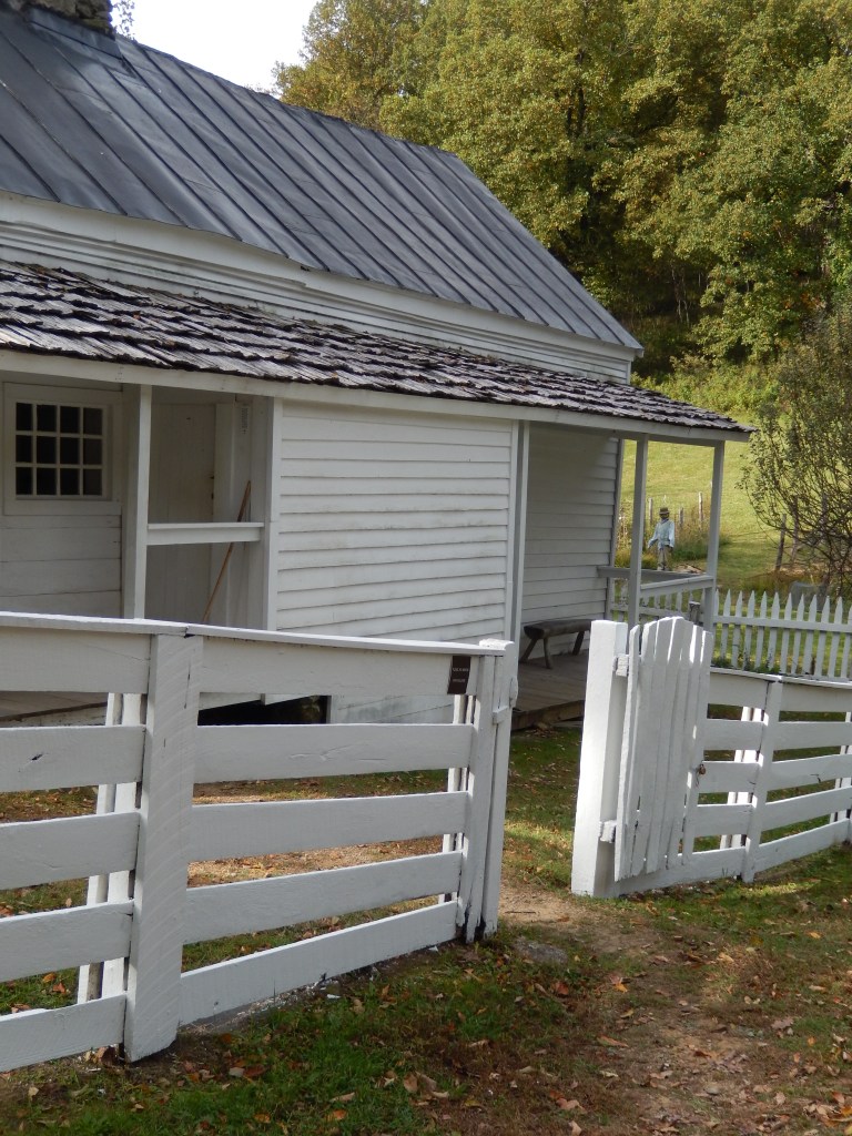
Fifty years after the Civil War most mountain communities remained isolated with a way of life stuck in the early nineteenth century. As American cities rushed into the twentieth century many mountain farms still had no indoor plumbing or electricity. Cooking and heating was done with wood much as their grandparents had done.

The Rural Electrification Act of 1936 was designed to provided for the installation of electrical distribution systems to serve isolated rural areas of the United States like the mountains of Appalachia and with the TVA (Tennessee Valley Authority) it began to provided electricity to the rural south in order to help stimulate the economy and industrialize the region. As ambitious as it was it didn’t happen overnight and by 1950 its own records indicated that it was less than one third of the way to the goal.

Farm Museum Oconaluftee Visitors Center Smoky Mountain National Park

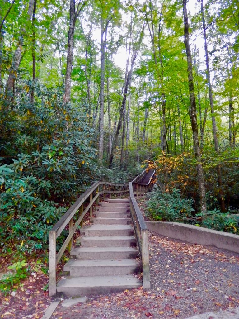
If you have the opportunity to visit the Smokeys or Blue Ridge Mountains don’t overlook these incredible windows into our countries beginnings and not so distant past.

Johnson farm at Peaks of Otter

Traveling The Blue Ridge Parkway • Day 5

Fall Colors On The Parkway

Color change begins to show up around Linville Falls

As Fall approaches the leaves of trees begin to go through a change as chlorophyll production slows and eventually stops. The old chlorophyll in the leaf begins to decompose, and when it’s all gone, the leaf’s underlying color is exposed. Nights becoming progressively cooler is one of the major triggers of this process.

Mabry Mill

The Fall colors begin in the Northern United States and follow the cooler temperatures in the higher latitudes as they travel South. The first hints of fall color also start off at the higher elevations, then day by day, sweep down the mountain’s slopes to the lower elevations and into the valleys and lowlands.

As we planned our hiking trip up the Blue Ridge Parkway we hadn’t given much thought to the changing colors, but as we traveled north from our start in Cherokee, within a couple of hundred miles it was obvious we were going to see a significant change during the trip. In the Smokey Mountains there were trees dotted here and there showing some color change but mostly the forests were still a verdant green. By the third day around Linville Falls the fall colors were spreading along the mountain sides. By the time we got to Roanoke, Virginia the bright colored trees were taking over the forests.

One of the things that makes the Fall forest so spectacular is the wide pallet of leaf colors on display. The dogwood, sourwood, and blackgum trees turn a gorgeous deep red. Tulip-trees and hickories turn bright yellow while sassafras trees show off a vivid orange. The red maples often are the real stars of the show with a multi-colored brilliance ranging from intense yellow, through shades of orange to a bright red. The oaks bring their own touch to the show with darker muted shades of russet and maroon. Evergreen trees including Virginia pine, white pine, hemlock, spruce, and fir add a nice contrasting green to the scene which often seems to enhance the colors of the hardwood trees.

Early October color change

For 2020 October is prime time for leaf colors as they flow down through the mountains of Virginia into the Carolinas and on to Georgia. By mid-October the Skyline drive should be in full color and by early November much of Georgia should be approaching high color.

Traveling The Blue Ridge Parkway • Day 4

Linville Falls North Carolina

One of the highlights of traveling the Blue Ridge Parkway is spending time around Linville Falls. There are almost a dozen trails for hiking with many offering vantage points overlooking the various levels of the falls as the Linville River drops into the Linville Gorge. While most of the trails to the fall’s overlooks are moderate to difficult the views are well worth the effort required.

The geology of the area is fascinating as it was fashioned by a rift where a major layer of rock was forced up over top of another about 275 million years ago forming the Linville Falls Thrust Plate. Millions of years of erosion sculpted the rock into the river’s channel and the amazing Linville Gorge. Surrounding this geologic feature are miles of virgin forest featuring hiking trails through hardwood trees dotted with thickets of rhododendrons.

The Linville Falls are near milepost 316 about a mile North of a route 221 entrance features a Visitors Center, camping and picnic tables. The Linville River flows placidly by the Visitors Center, next to a large parking lot, featuring a bridge and some easy level nearby hiking trails.

If your are looking for an easier hike, there is actually an shorter hike to get to the falls just off route 221 that cuts off almost a half mile of the trip to the upper falls overlook. The falls themselves are actually not in the Blue Ridge Park but are part of the Linville Falls Wilderness Area which has an access parking lot almost a half mile nearer the upper falls overlook.

To reach that lot exit the Parkway at 221 and turn left at the stop sign. Travel a short distance down the road and take the first left. The Wilderness area entrance is less than a mile down on the right. The parking lot is unpaved but a short trail does connect with the trail from the Visitors Center. In addition to the upper falls trail, the lower falls and the Linville gorge overlooks the Wilderness area also has miles of hiking trails suitable for serious wilderness hikers*.

Back at the Linville Falls Visitors Center there is an additional trail that starts off to the left side of the parking lot that will take you to an overlook over the Plunge Pool on the opposite side of the river. The trail starts by going up a short flight of stairs into a section of rhododendrons and is about 0.7 miles round trip.

*Look for a detailed article on these trails soon.

Traveling The Blue Ridge Parkway • Day 2

Working our way up the Blue Ridge Parkway starting at the southern entrance in Cherokee, North Carolina.

October 5th – Cherokee, North Carolina. Today the plan was to start out with a hike on the Conaluftee River Trail from the Conaluftee Visitors Center. That would be followed by a short hike to Mingo Falls and ending with a longer hike on the Smokemont Loop Trail and up a spur trail to the Chasteen Creek Cascade.

Conaluftee River Trail – Shortly after heading out along the river trail we came across a number of photographers in waders in the river with some really long camera lenses. They were staked out waiting for herds of elk to wade across the river. Around that time we heard bull elk calling from both sides of the river and within a couple of minutes a cow elk with three young calves crossd the river right next to us. Out of the woods on the other side came a large bull elk calling and all four of them disappeared into the forest. A while later another bull and several cows came up river started grazing next to the farm museum site. A great start of the day.

Mingo Falls

Mingo Falls – To get to the parking lot for Mingo Falls from the National Park drive towards Cherokee and take the first left after the entrance to the Blue Ridge Parkway. Over the river turn left and follow the road. There is a sign pointing to the parking lot for the falls. At the back of the parking lot is a set of stairs with 218, uneven steps going up toward the falls. While only about a quarter mile to the falls it is a good climb but worth the effort. At 120 feet tall, the Mingo waterfall is one of the tallest and most spectacular in the southern Appalachians.

Smokemont Loop Trail and the Chasteen Creek Cascade trail can be tricky to find and easily misunderstood. The entry point is less than 3 miles west of Smoky Mountains National Park’s Conaluftee Visitors Center. It’s on the right past the Mingus Mill*. Signs indicate the Smokemont camp area but once your make the turn you come to a T without directions. Turn left toward the Smokemont Campground. At the entry to the campground is a booth and a sign that says “Campers Only”. If anyone is there simply tell them you looking for the Chasteen Creek Cascade trail. Drive to the back of the campground and there’s a small parking lot next to a sign that says “Road Closed”.

As you walk up the trail you are on a upside down J shaped access trail that will take you to the Smokemont Loop Trail in about 2.25 miles. The Smokemont Loop starts there and is about 6.5 miles long. In less than 2 miles you’ll come to a fork with Chasteen Creek to the right and Smokemont Loop to the left. The cascade is about a mile up to the right and at any additional fork go left. These two trails are actually hiking – horse riding trails and there is often a fair amount of riders out on the trail.

Going farther up the Smokemont Loop Trail is also a highly recommended hike with a moderate incline with beautiful views of the Oconaluftee River Valley.

*Mingus Mill – A half-mile north of the Oconaluftee Visitor Center is Mingus Mill. Built in 1886, this historic grist mill uses a water-powered turbine instead of a water wheel to power all of the machinery in the building. Located at its original site, Mingus Mill stands as a tribute to the test of time.

Traveling The Blue Ridge Parkway • Day 1

We’re working our way up the Blue Ridge Parkway starting at the southern entrance in Cherokee, North Carolina.

October 4th – First stop is Cherokee, North Carolina arriving in the afternoon for our trek up the Blue Ridge Parkway. Not wanting to get into a long hike late in the day we headed out to the Smoky Mountains National Park Visitors Center and a short hike in the direction of Mingo Falls.

It’s been some time since I read anything about the reintroduction of elk into the North Carolina mountains and I hadn’t given it any thought when planning this trip so it was a real shock when we ran into a herd of elk first thing.

Reintroduction of elk into Great Smoky Mountains National Park began in 2001 when 25 elk were brought from the Land Between the Lakes National Area of Tennessee. In 2002, the National Park Service imported another 27 animals.

So far the elk seem to be improving the mountain forest environment as the elks’ grazing is active enough to stimulate good plant regrowth. They keep fields clear by keeping the grasses shorter and make it easier to navigate for smaller animals, such as rabbit or turkey, and also make it easier for birds of prey to search through the shorter grasses. They are also adding to the network of game trails in the forest. However the elk have been missing from this environment for over a hundred years and researchers are still studying the impact of their reintroduction watching for signs of stress.

Coming across a heard of elk and a male with an impressive set of antlers was a real surprise that pushed off the Mingo Falls hike until tomorrow morning. In the meantime we headed back to the Visitors Center and a visit to the Mountain Farm Museum.

Searching For Kürtőskalács In Budapest

Kürtőskalács In Budapest

A Short Story

Budapest is probably one of the World’s most underappreciated cities. In Europe we’ve been to Rome, London, Paris, Amsterdam, Athens, Vienna, and more and we would put Budapest at the top of our list. It has incredible cityscapes and gardens and a walk along the Danube at night is magical. Cafes and restaurants are great and the public transportation is World class.

Before our trip, as usual, we did research and one thing that stood out was that we had to try Kürtőskalács the favorite Hungarian pastry.

What we discovered is Kürtőskalács or Kürtős kalácsis are a Hungarian pastry also known as chimney cake, a stove cake or Hungarian wedding cake. It is baked on a tapered cylinder on a spit over an open fire or hot charcoal and rolled in a number of various flavor coatings. Originally from Transylvania, it is famous as Hungary’s oldest pastry and is found in other European countries under other names as well.

Since it is considered the national pastry of Hungary the search should be easy. Right? The first problem experienced was the Hungarian language and having no idea how to pronounce Kürtőskalác. Hungarian is a very hard language to learn because it is complex and very unique and despite the country’s location in central Europe, its dialect is nothing like those spoken in its neighboring nations. While Hungary’s language is generally referred to as Hungarian in fact its proper name is “Magyar” and worldwide it’s only spoken by 13 million people with over 9 million of those in Hungary. While a large number of Hungarians have a good command of English, virtually all signage displays are in only Hungarian. From just the word Kürtőskalác you can see how difficult the language is.

Recognizing the language problem I put Kürtőskalác on a note app in my cellphone so I could show people what I was looking for. Budapest has a famous Market Hall with food and restaurant stalls and seemed like the logical place to start. Everyone was very eager to help but had no suggestions as to where to find them. One baker gave us directions to a place four or five blocks away that might make them. They didn’t and couldn’t suggest where to go next.

It is a pastry and you would think it would be common in bakeries but we learned that’s not the case. It seems it is the requirement to bake over charcoal or open flame that causes a problem for indoor shops.

After five days in Budapest we gave up our search to find some Kürtőskalács. On day six we took a train to spend a day in Slovakia and returned to Budapest after Sunset. As we walked out of the Central Station there was a line going down the sidewalk leading to a food truck. It was a Kürtőskalác food truck! We started with a cinnamon-sugar one to share but will surely come back in a day or two.

Two weeks later we were in Germany and discovered a shop window in a small village selling the German version called schornstein cakes and it was exactly the same.